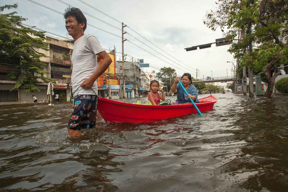
Bangkok rainfall and drainage systems overwhelmed by heavy rain
In Bangkok, rainfall over the past week has reached alarming levels. September is usually the wettest month in Thailand’s capital, with a monthly average of 344 millimetres of rain spread over 18 days. However, last week around 300 mm of rain fell on Bangkok in just 48 hours, overwhelming the city’s drainage systems. Authorities declared a state of natural disaster. At least 40 people have died and thousands have been forced to leave their homes.
Seasonal flooding caused by the monsoon can regenerate soils, support rice cultivation and preserve wetlands. However, exposure levels in many areas, particularly urban centres, are changing rapidly. Cities across Southeast Asia have developed along floodplains and coastal areas. Roads, buildings and concrete have replaced natural surfaces and soils capable of absorbing rainfall. High population density makes the situation worse, leaving urban areas even more vulnerable.
In Thailand, more than 800 people died in the 2011 floods, considered the most devastating natural disaster in Southeast Asia. Floods disproportionately affect vulnerable communities and pose major public health challenges. Bangkok, in particular, lies on the lower floodplain of the Chao Phraya River, close to the Gulf of Thailand. According to the World Bank, the Chao Phraya basin is home to almost 40% of Thailand’s population, 78% of its workforce and 66% of national GDP. Heavy rainfall can therefore damage factories, transport networks, agriculture and international supply chains.
Climate change and rapid urbanisation are placing growing pressure on urban drainage systems, which were designed to cope with rainfall of lower intensity and frequency than levels expected over the coming decades. The challenge is also relevant to rapidly growing urban areas elsewhere, including in Africa, where drainage capacity and land use can shape exposure to extreme rainfall.
Why is Bangkok more vulnerable to flooding?
Historical data show that between 2013 and 2023, central districts including Huai Khwang, Sathon and Saphan Sung already recorded increases in average monthly rainfall. These districts are also expected to see rainfall gradually increase until 2053. The continued rise in rainfall events is attributed to the combined influence of climate change on hydrological cycles and rapid urbanisation.
Scientific literature, including IPCC models and local-scale studies, confirms that rainfall intensity is a critical factor in urban flooding, particularly when prolonged and intense downpours hit areas that are already vulnerable.
Rising rainfall puts Bangkok’s drainage network under pressure
The steady increase in rainfall and wet days is testing the capacity of Bangkok’s drainage network. As highlighted by this study, Bangkok’s rapid and continuing urbanisation is one of the main factors worsening flood risk, directly affecting land surfaces and increasing population vulnerability.
In particular, continued urban expansion is causing a progressive reduction in vegetation cover, both in the city centre and on its outskirts. Natural, absorbent soils are being converted into built-up areas, concrete surfaces and industrial or residential zones, drastically reducing the soil’s capacity to absorb rainwater and increasing surface runoff during intense rainfall.
As a result, the city’s canal network is often unable to handle extreme rainfall. In densely populated areas, waste can also block drainage channels, further reducing their capacity to carry away water.